Mapping Nebraska and the Great Plains
Lincoln, Nebraska | March 30-31, 2017 | Innovation Campus
The vast Great Plains creates a need for maps and a fascination with “place” that has never left us. From the earliest star charts to digital cartography, we have used maps to make sense of space and place. Join us in March 2017 for a conference that invites exploration of maps in cartography, but also in a metaphorical sense of how we use concepts of “mapping” to understand the region’s people, culture, and land.
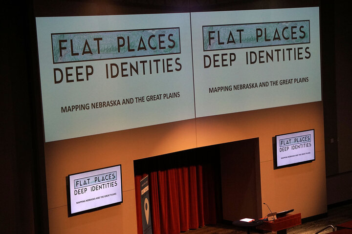
The 2017 Great Plains Symposium will examine the topic, Flat Places, Deep Identities: Mapping Nebraska and the Great Plains. In part it will commemorate the publication of the Atlas of the Great Plains (2011) and anticipate the publication of the Atlas of Nebraska (2017).
Why are maps so fascinating? What do they tell us, what assumptions were necessary to construct them, how do they shape our knowledge? The symposium calls for a critical reexamination of maps and the mapping of our region.
This topic is also to be understood figuratively, inviting us to consider the myriad ways in which “maps,” “mapping,” and “place” shape all aspects of how we see and understand the Great Plains. Thus included in our topic are questions of how place and mapping are used in or influence identity and culture, economy and society, agricultural practices, natural resources, environmental issues, business strategy, art and creative expression, literature of place, social relationships, politics and social movements, “deep mapping,” and any other ways in which concepts of mapping and place are revealing and useful.
Sponsors & Partners:
University of Nebraska Press
Nebraska Statehood 150
The Cooper Foundation
University of Nebraska sponsors:
- Office of Research and Economic Development
- Institute for Agriculture and Natural Resources
- ENHANCE Program
- College of Arts and Sciences
Conference schedule:
Schedule as of January 2017, subject to change
Thursday, March 30
3:30 - 5 p.m.: Guided tour and activity at Constellation Studios of a related exhibition, "Unflolding the Map." Shuttles will run from Embassy Suites to the gallery and back.
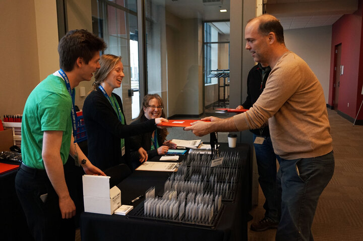
5:30 p.m.: Reception at innovation campus with hor d'oeveres and beverages (included in registration). Shuttles will run from Embassy Suites to Innovation Campus for the reception and keynote.
7:30 p.m.: Keynote, auditorium, Innovation Campus
"Maher"
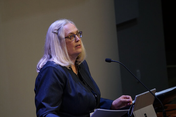
- Crossing Saskatchewan, Susan Maher, University of Minnesota Duluth, author of Deep Map Country: Literary Cartography of the Great Plains
Friday, March 31: All activities at Innovation Campus
Shuttles will run from Embassy Suites to Innovation Campus from 7:30 -8:30 a.m. Shuttles will run from Innovation Campus to Embassy Suites from 4:45 to 5:30 p.m.
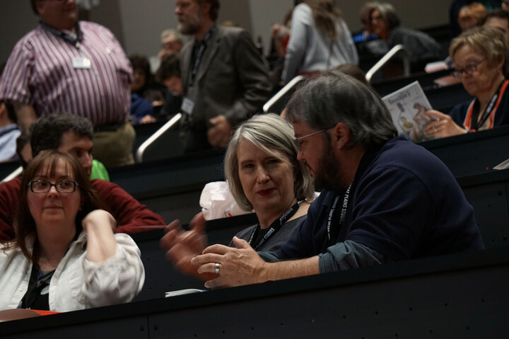
8:30-8:45 a.m.: Welcome (Richard Edwards), auditorium
9-10:15 a.m.: Concurrent Block 1
"Shifts" | Room A1
- The Great(er) Plains: Beyond Dust, Drought, Declension, and Dismissal, Julie Courtwright
- Land/People: Photographing a Deep Map, Amanda Breitbach
- Spatial Temporal Population Mapping of Nebraska Places, Rex Cammack
"Air" | Room A2
- Fly-over Country: Air Population in the Great Plains, Michael Peterson
- Detecting regime boundaries and regime shifts in the Great Plains, Jessica Burnett
- Seeing by Other Lights: Revealing the Changing Landscape of the Great Plains, Geoff Henebry
"Family" | Room A3
- Mapping Family – ReMapping History, Barbara Robins
- Vernacular Mapping and Community Building : A Map Contest for Schoolchildren (1907-1914), Emmanuel Falguieres
- My Blood is Mexican, but My Heart is American”: Young Latino Immigrants' View of Their “criminalization," Thomas Sanchez
"Surfaces" | Room D
- Urban land cover and impervious surface changes in the Great Plains between 2001 and 2011, Kevin Gallo
- Sandpit Urbanism, David Karle
- Cut | Fill: Mapping the Invisible Territorial Impacts of Nebraska’s Bricks, Catherine De Almeida
"Conflicts" | Room C
- Mapping the ‘Heart of America’: The Cold War Cartographic Battle to Attract Decentralized Industry to the Great Plains, 1944 to 1955, Jeff Stone
- Compiled from Official Records: Mapping Kansas and Nebraska before the Civil War – A Story of Land Surveying, Land Promotion, Conflicts of Interest, and Partisan Politics, Ronald Grim
- “The Kickapoos are strenuously opposed”: Forced Allotment, Land Fraud, and Dispossession, Stephen Egbert
"Futures" | Room B3
- Mapping past, present, and future in the Great Plains: The role of modeling and scenarios, Terry Sohl
- Geography of ecotourism potential in the Great Plains: incentives for conservation, Larkin Powell
- Mapping the Transnational Great Plains: When Place-Based Education Accounts for Plural Places, Ted Hamann
10:30 a.m.: Semi-plenaries
"Cole" | Room B1-2
- A Cartographic History and Analyses of Indian-White Relations in the Great Plains, Dan Cole
chief cartographer of the Smithsonian Institution, co-author of Mapping Native America: Cartographic Interactions between Indigenous Peoples, Government, and Academia
"Atlas" | Auditorium
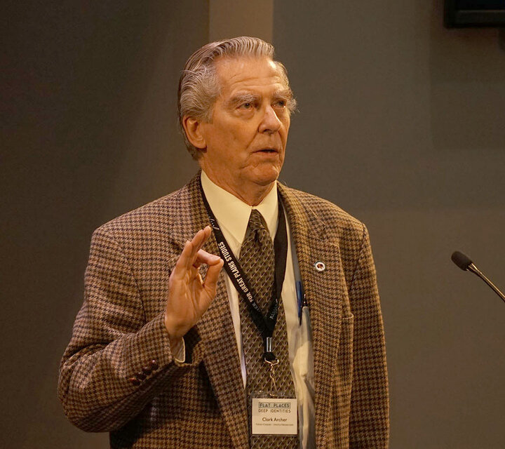
- Mapping Nebraska and the Great Plains: A Conversation with the editors of the Atlas of Nebraska and the Atlas of the Great Plains, Clark Archer, David Wishart, Don Wilhite, Les Howard, & Richard Edwards
Noon: Plenary
"Schulten" | Banquet Hall
- Competing Visions of the Great Plains in the Mid-Nineteenth Century, Susan Schulten, University of Denver, author of Mapping the Nation: History and Cartography in Nineteenth-Century America (lunch is included in registration)
1:45-3 p.m.: Concurrent Block 2
"Nebraska" | Room A1
- Origins of Nebraska’s Frontier Settlers, John Bauer
- Nebraska’s Bedrock Geologic Map: Old Insights Made New, Matt Joeckel
- Nebraska’s “Centennial Literary Map” Turns Fifty, Kyle Wyatt
"Identities" | Room A2
- Whiteclay Project, Rebekka Schlichting (moderator)
- Race, Ethnicity, and Ancestry on the U.S. Great Plains, 2010-2012, Jon Kilpinen
"Lines" | Room A3
- East River and West: Reconsidering Hundredth Meridian Culture in the Dakotas, Maxine Allison Vande Vaarst
- Betwixt and Between: Approaching Plains, Remaining Prairie, Steve Potts
- Visualizing 200 Million Trees: a digital mapping narrative, David Karle
"Perspectives" | Room D
- Panel, Shifting Ground: Dynamic Personal Maps on the Great Plains, Great Plains Graduate Fellows Daniel Clausen, Aubrey Streit Krug, Caleb Roberts, Daniel Uden, Hannah Birge, and Matt Whittaker
"Stories" | Room B3
- Panel, Expanding the Map of Great Plains Literature, Daniel Simon, Rilla Askew, Linda Ray Pratt, and Richard Edwards
3:15-4:30 p.m.: Concurrent Block 3
"Kansas" | Room A1
- A Map at the Altar: Constructing Kansas at the Philadelphia 1876 Centennial Exposition, Mary Peterson Zundo
- Deep Mapping Kansas for Adventure and Ambition: James R. Mead and the Exploration and Settlement of Kansas, 1859-1910,Lorraine Madway
"Activism" | Room A2
- Women’s Work on the Plains: Women’s use of geography and cartography in the Progressive Era, Christine Dando
- Mapping the Reform Press of the Populist Movement, 1886–1910, Jeff Wells
- Mapping Communism on the Northern Plains (with a Special Assist from the FBI), Bill Pratt
"Water" | Room A3
- Finding the Platte, Cory Willard
- Our Unpoetic Deserts: Perceptions of Place on the Central Great Plains, Ariana Brocious
- To fill white spaces with imagination: the Map, the Plains and the Lake,Quentin Morcrette
"Foundations" | Room D
- Geologic Mapping of Nebraska and Other Parts of the Great Plains, 1845-2017, Robert Diffendal
- Colonizing the Great Plains: Manifest Destiny and Little House on the Prairie, Kiera Ball
- Mapping Pioneer Movements to Define Success on the Great Plains, Brandon Duxbury
"Names" | Room C
- Melvin Gilmore, James Owen Dorsey, and the Collection of Indigenous Place-Names, Chris Steinke
- Bohemians into Czechs: Nebraska’s Bohemian Alps Vernacular Region, Brett Chloupek
- Locating Little Wolf: Maps and the Making of Mari Sandoz’s Cheyenne Autumn, Nicole Gray
"Places" | Room B3
- Mapping Experienced and Fictionalized Places in the Works of Willa Cather, Gabrielle Kirilloff
- Deep Mapping Watershed Consciousness: Loren Eiseley’s “Flow of the River” and the Platte Basin Timelapse Project, Tom Lynch
- “Secretly, far back in the prairie grass”: Mapping Loren Eiseley’s Nebraska, Emily Rau
4:30-5:30 p.m.: Closing Reception with food and drink, Banquet Hall
This event is part of Nebraska's 2017 Sesquicentennial events! Follow the Facebook event for more updates. If you have any questions, contact the Center at cgps@unl.edu.
